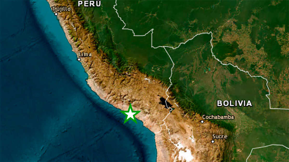
A magnitude 7.2 earthquake has shaken the Andean region of Ayacucho, in southern Peru. The Geophysical Institute of Peru (IGP) has reported that the epicenter has been located 35 kilometers north of the town of Coracora, in the province of Parinacochas.
At the moment, the first report of the National Institute of Civil Defense (Indeci) reports three injuries and damage to several homes and health and educational centers, in addition, the authorities of Coracora recognize the possibility of damage to the houses because they are mostly made of adobe and calamine.
REPORTE SEISMICO
IGP/CENSIS/RS 2026-0568
Local Date and Time: 08/20/2026 13:00:16
Magnitude: 7.2
Depth: 108km
Latitude: -14.70
Longitude: -73.78
Intensity: III-IV Coracora
Reference: 35 km N of Coracora, Parinacochas – Ayacuchohttps://t.co/EXEv0iY0Ur— Geophysical Institute of Peru (@igp_peru) August 20, 2026
The country still has as a reference the devastating earthquake recorded in 2007 in the southern region of Ica. That earthquake, of magnitude 7.9, caused the death of about 500 people and left millions in material losses. Contrary to what was suspected, as soon as the magnitude of the earthquake was known this Thursday, the worst omens were cleared up as the hours went by.
GEOPHYSICAL DATA
According to the Geophysical Institute of Peru, the reference of the event is located 17 km E of Camaná, Camaná – Arequipa. The date and time of local origin corresponds to August 21, 2026 at 01:45:00 hrs, with a latitude and longitude of -16.60, -72.55.
The earthquake has been recorded at a depth of 54 km. The maximum intensity (MM) was II-III Camaná.